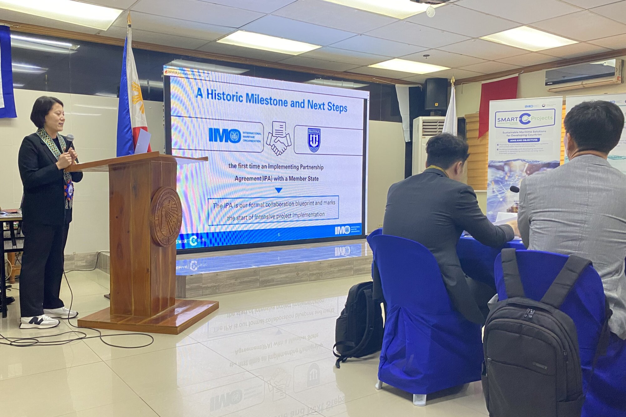
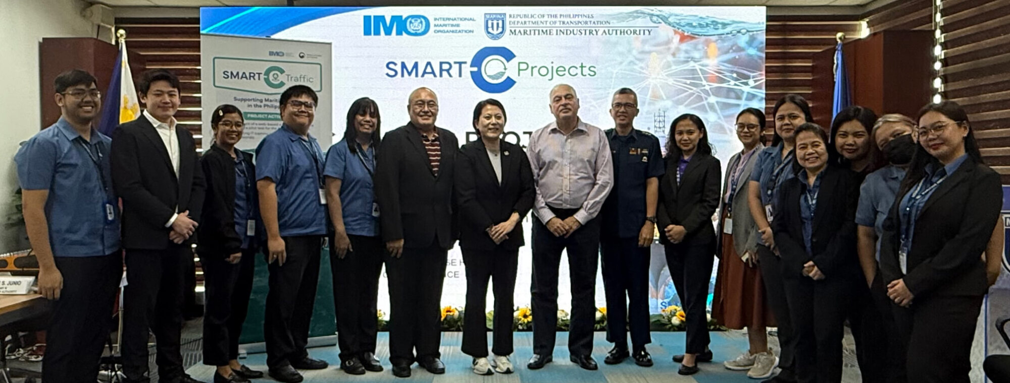
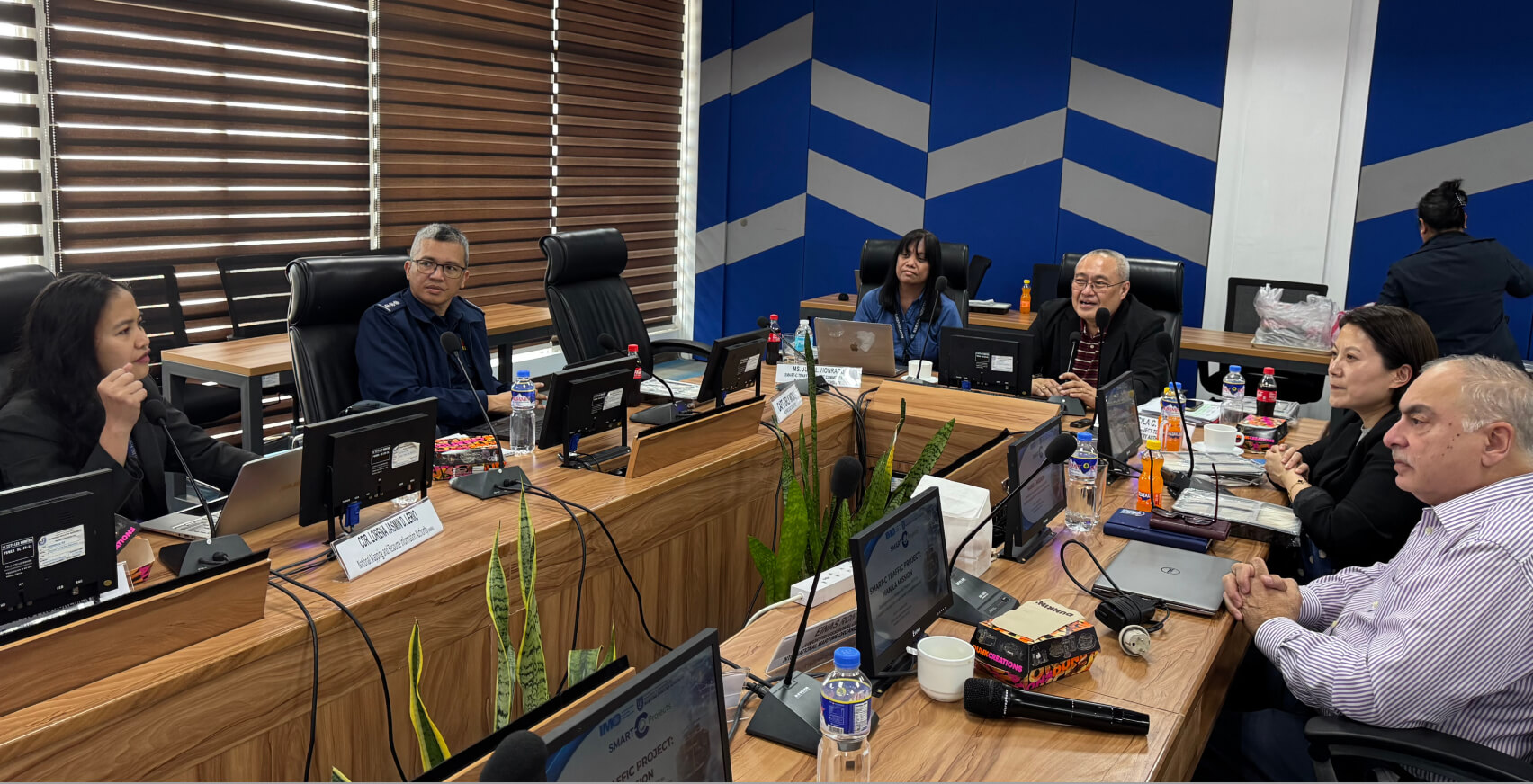
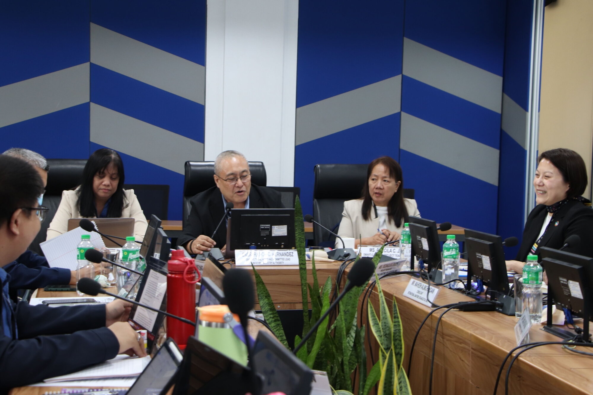
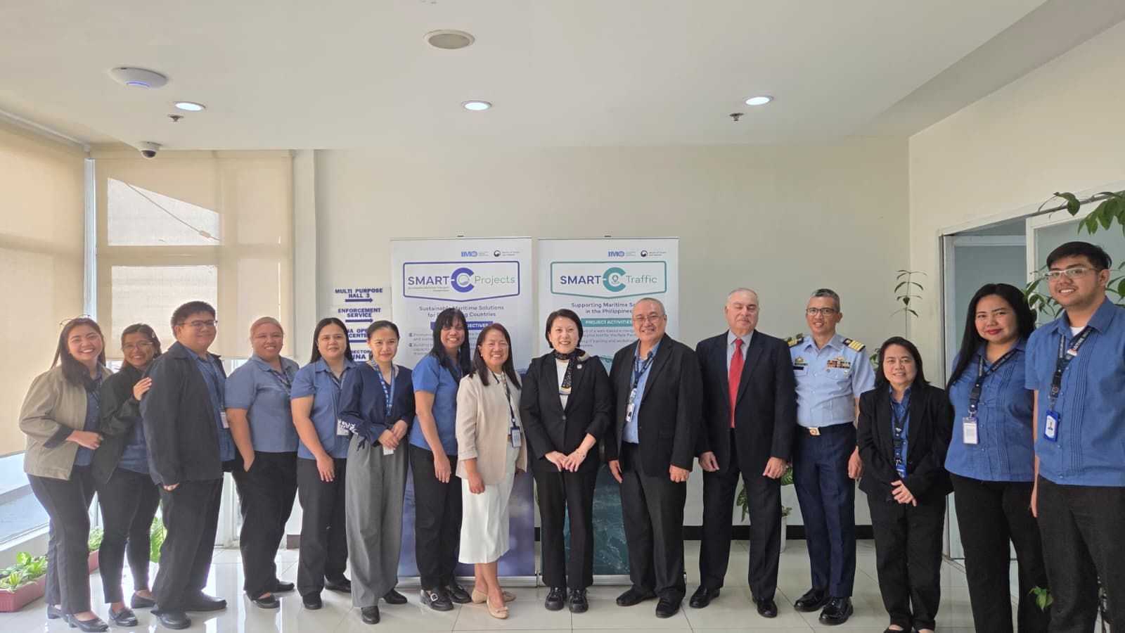
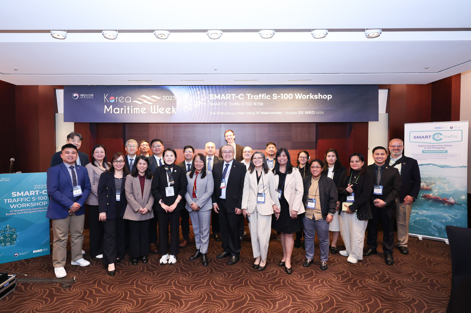
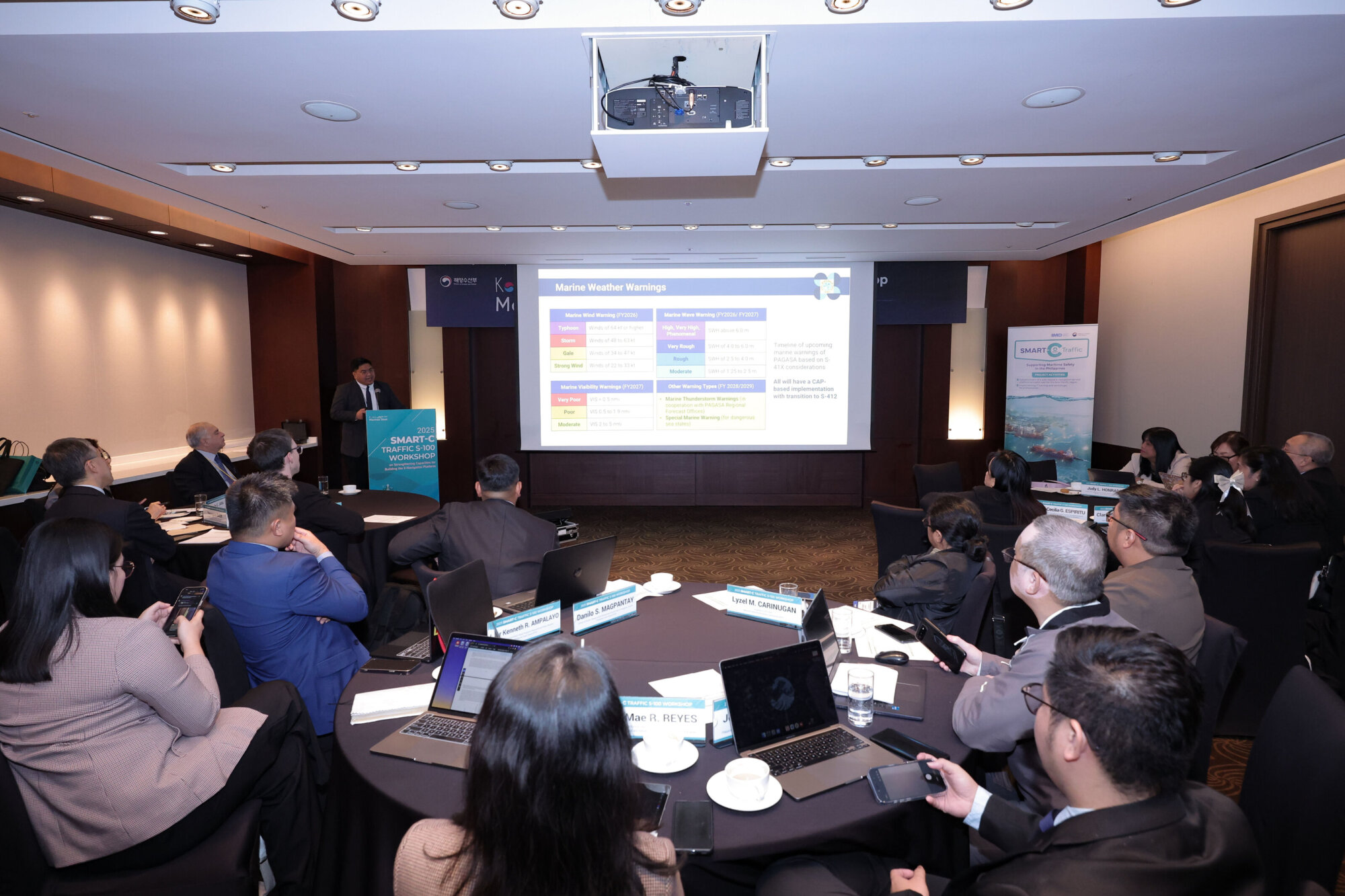
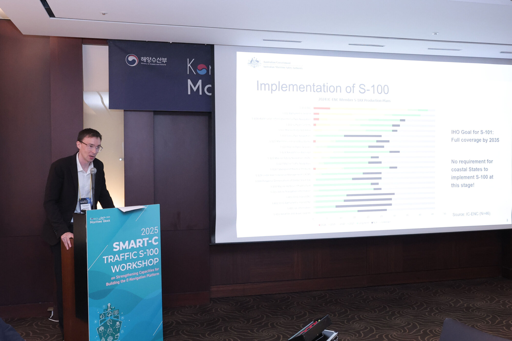
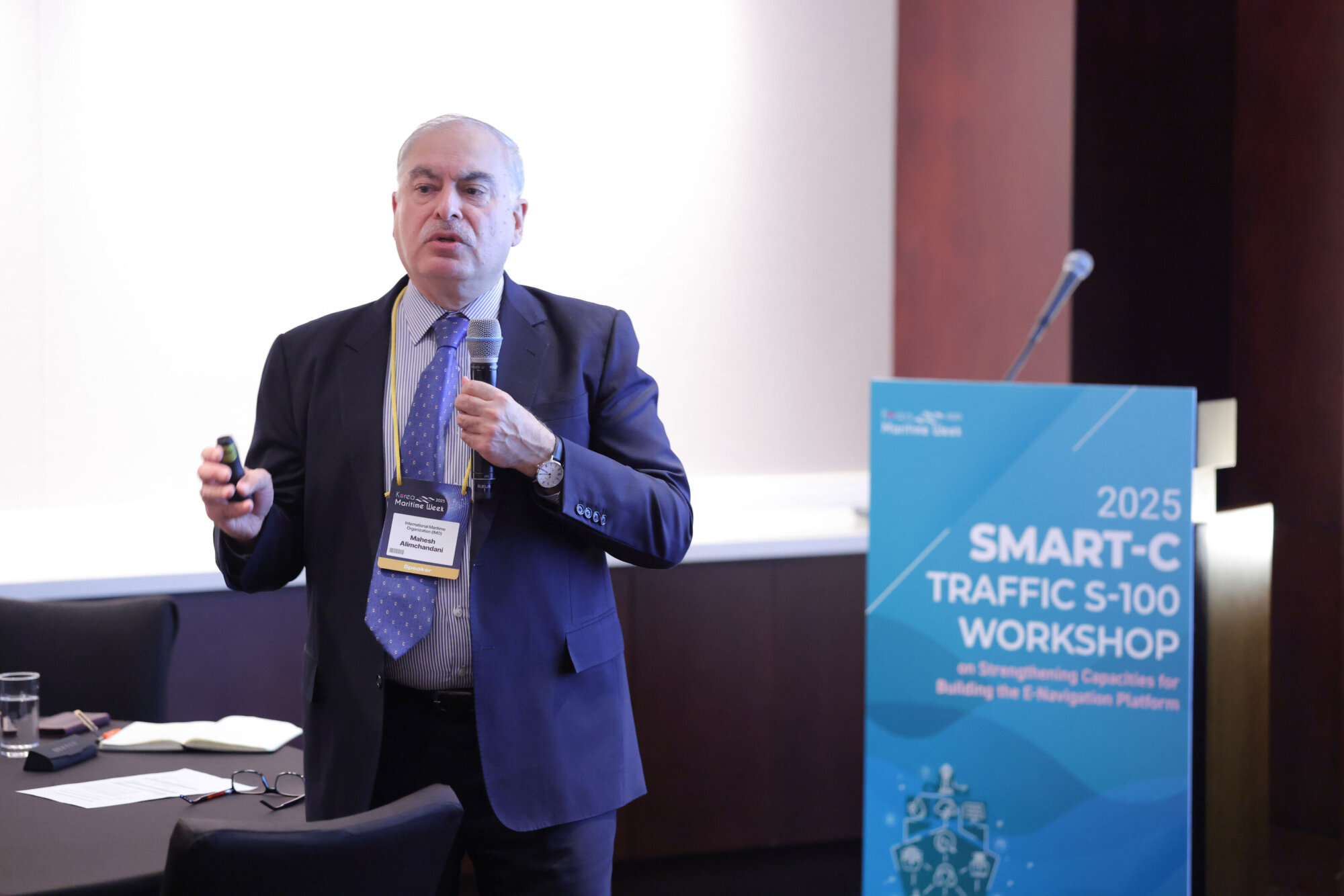
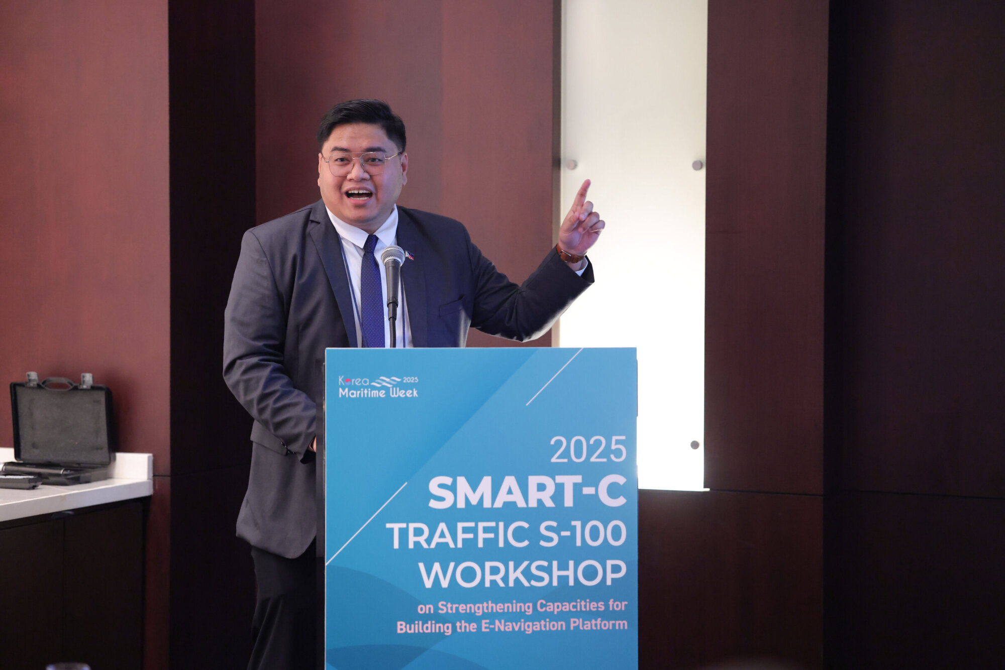
At the core of the project is the development of a web-based e-navigation platform integrating maritime safety information, vessel traffic, and search-and-rescue data into a single internet-based environment. Set within IMO’s E-Navigation Strategy Implementation Plan (MSC.1/Circ.1595), the initiative tests S-100 digital maritime products under operational conditions to enhance situational awareness, navigational safety, and efficiency in the Philippines.
The pilot tests a set of S-100-based products: electronic navigational charts, bathymetry, water levels, surface currents, navigational warnings and under-keel clearance management. In collaboration with NAMRIA, the Philippine Coast Guard and other relevant agencies to asses, the project assesses whether an S-100-capable system can ingest, display, update and support mariner decision-making compared with legacy S-57 ENCs and paper charts. It will also evaluate system functionality, interoperability and institutional readiness for scaling.
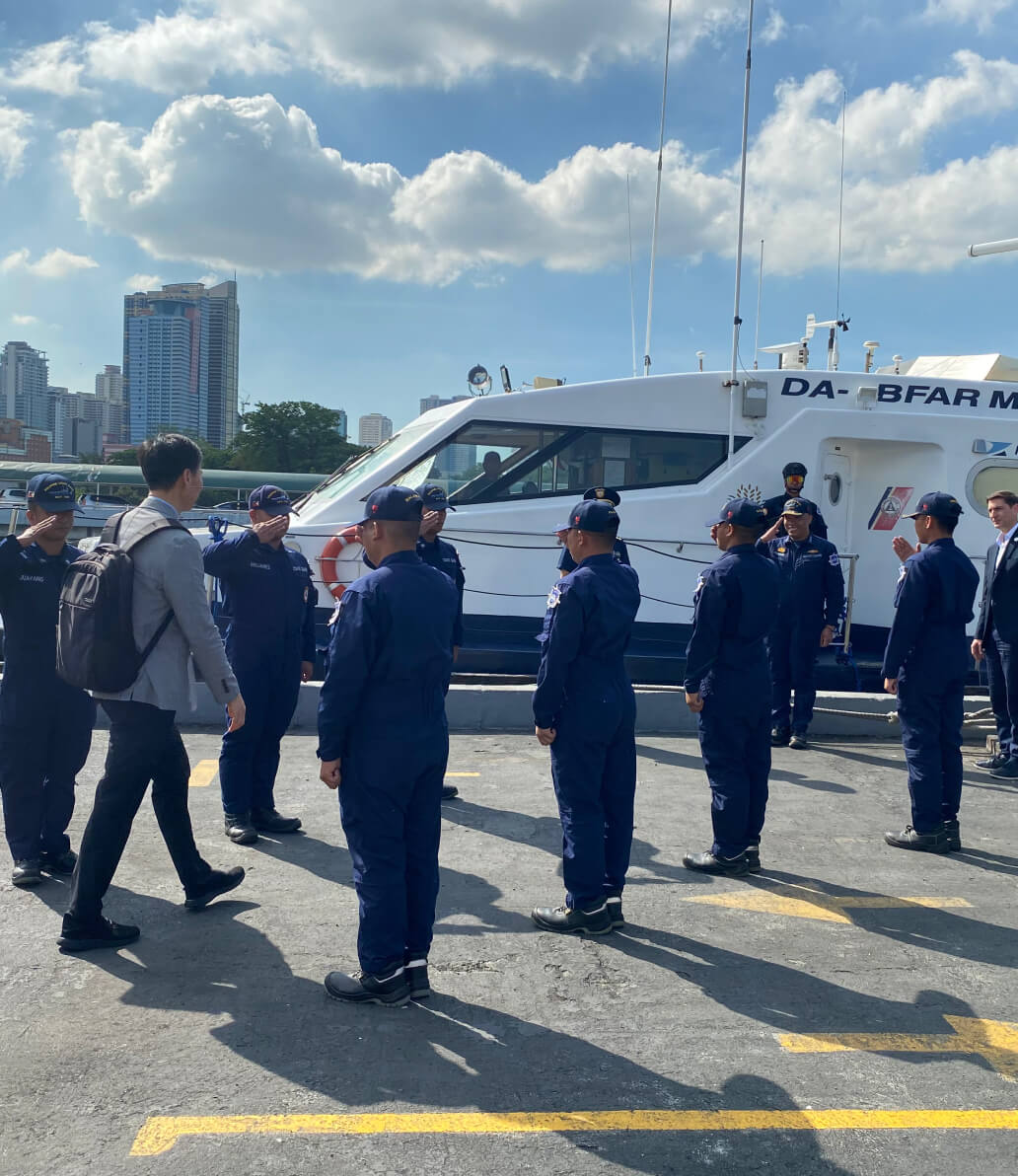
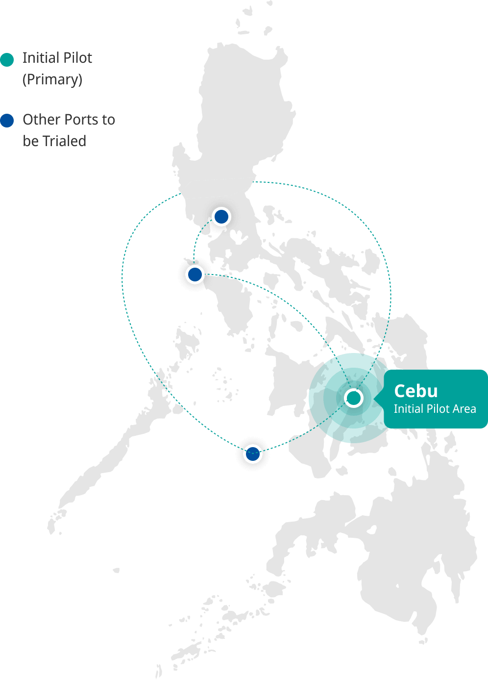
The pilot covers major Philippine ports beginning with Cebu, testing across MARINA-identified vessels: domestic passenger ferries, PCG patrol vessels, and NAMRIA hydrographic vessels. Activities progresses from controlled shore-based testing (bridge simulators and laboratory systems) to live sea trials across 2026–2027 — contributing to global e-navigation efforts while aligning Philippine maritime operations with international standards.